Data acquisition is mainly based on the adequate installations of measurement devices for the following study sites, (1) Negev (Israel), (2) Western Mountain Aquifer (Israel and West Bank), (3) Tanour-Rasoun Aquifer (Jordan) and (4) the limestone quarry in Rüdersdorf (Germany), to capture the vadose storage and infiltration dynamics.
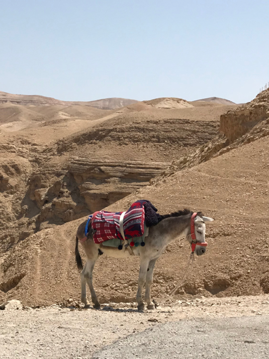
Eocene Aquifer in the Be’er Sheva, Israel (1)
The Negev project region is classified as a fracture dominated aquifer system with little influence of the porous matrix. In terms of modeling approaches dual-porosity and discrete fracture network models are most likely to best represent the recharge dynamics of the system. Hydrogeological and geophysical characterization methods will be adapted to account for the fractured-focused infiltration, i.e., integrative hydrogeological measurements in the phreatic zone are preferred in order to capture effects of preferential flow dynamics.
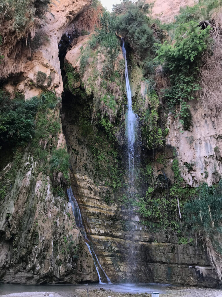
Western Mountain Aquifer, Israel and West Bank (2)
The Western Mountain aquifer (WMA) system is a complex two-horizon perched karstic of the Upper Cenomanian epoch lithology. The WMA is constantly being studied and is sufficiently covered by climate and runoff monitoring datasets of several decade back. The research group has access to borehole data such as water table dynamics, pumping information, and hydraulic properties The research group is also able to carry out physical sampling within wells and springs across the entire region and has the technical infrastructure for online monitoring and analytical sample characterization.
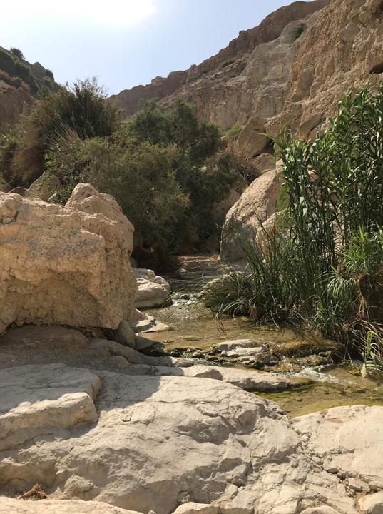
Tanour-Rasoun aquifer, Jordan (3)
Different methods and approaches were developed and applied in former studies in order to characterize the karst aquifer system of the Jordan Tanour and Rasoun springs and the flow dynamics within the aquifer. The monitoring can be restarted and the measured parameters will be used in order to study the karst aquifer response to recharge events and calculating water residence times within the karstic aquifer. Using natural tracers in springs water measurement of discharge is possible as well.
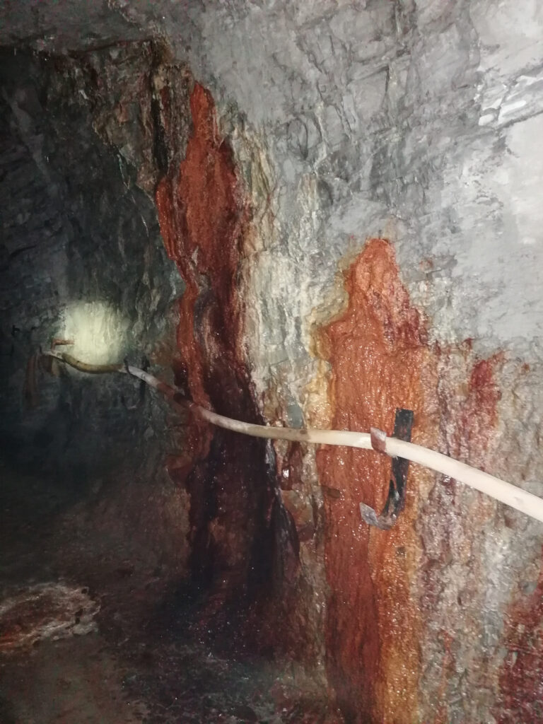
Limestone quarry in Rüdersdorf, Germany (4)
The Rudersdorf field site is located east of Berlin and consists mainly of limestone formation. It will be the main site to employ different geophysical techniques for soil moisture measurement and monitoring. At the field site several vertical and slanted boreholes will be drilled with a depth up to 30 m to support these measurements. Special TDR bands (TAUPE-system) will be installed to some of the boreholes for continuous soil moisture monitoring. In addition, the boreholes will be used for hydraulic tests to obtain hydraulic information (transmissivity, storage).